


Data Visualization Tools for Better Insights in Construction
Building Radar
DECEMBER 10, 2024
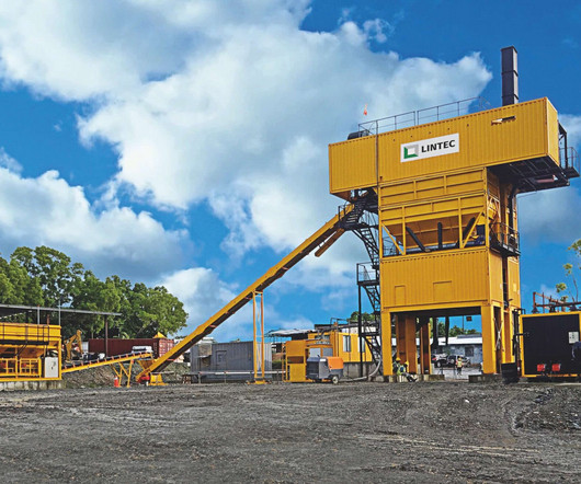
This ensures that all stakeholders are aligned with the project goals, progress, and any potential issues, fostering a collaborative and transparent project environment. Geographic Information Systems (GIS) Geographic Information Systems (GIS) are powerful tools for visualizing spatial data related to construction projects.


Let's personalize your content